




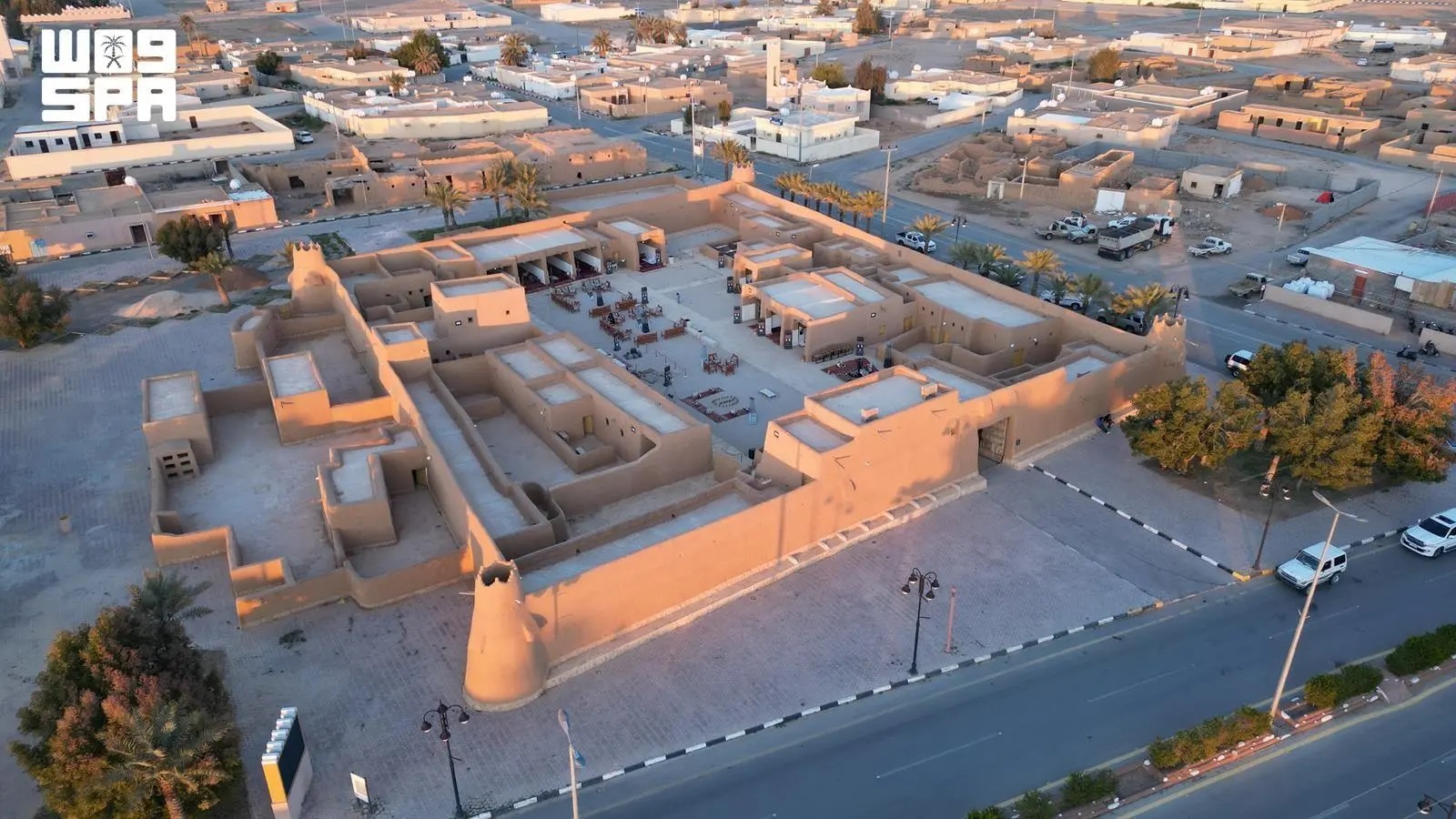
Ancient Wells and Trade Routes Map Northern Borders Heritage
Northern Borders Region features an extensive network of archaeological landmarks and trade routes that document ancient caravan movements, commerce, and human settlement. Across various sites, wells, cisterns, and architectural remnants offer a window into northern Arabia's historical topography.
Antiquities Association member Abdulrahman Al-Tuwaijri told the Saudi Press Agency that the region's historical sites illustrate how early communities adapted to harsh desert terrain by engineering sophisticated hydraulic infrastructure along travel corridors.
Al-Tuwaijri identified Darb Zubaydah—the historic Kufa-to-Makkah pilgrimage trail—as the region's premier archaeological corridor, marked by paved paths, directional milestones, and fortified waystations. Prominent among these hydraulic feats are the Al-Jumaymah and Al-Thulaymah cisterns, which secured reliable water supplies for pilgrims and commercial caravans, supported by surrounding waystations.
In settlements like Zubala and Laynah, clustered wells and surviving structures underscore the link between subterranean water tables and regional urban development, showcasing building techniques tailored to the local environment.
Al-Tuwaijri emphasized that continuing field research and systematic documentation are vital to preserving the region's historical memory, enriching academic research, and positioning Northern Borders Region as an attractive cultural and heritage tourism destination.


