




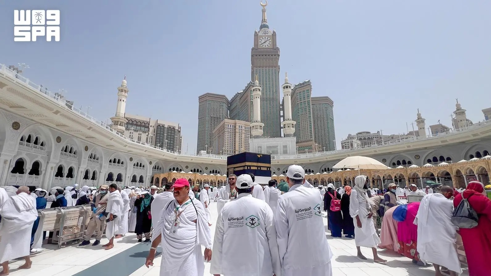
GEOSA Supports Hajj Operations and Development Projects with Five Geospatial Permits
The General Authority for Survey and Geospatial Information (GEOSA) has enabled government entities involved in Hajj operations to carry out activities related to serving pilgrims by issuing five geospatial permits, in addition to holding four urgent coordination meetings to support several vital development projects, as part of its ongoing efforts to support national systems and advance the objectives of Saudi Vision 2030.
These efforts fall within the authority's regulatory role in issuing the permits required for aerial photography and surveying, hydrographic surveying, panoramic imaging, and similar technologies, in accordance with approved regulatory and technical requirements, ensuring geospatial activities align with relevant regulations and supporting the efficient and reliable implementation of vital projects.


